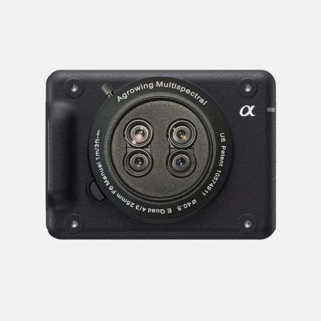
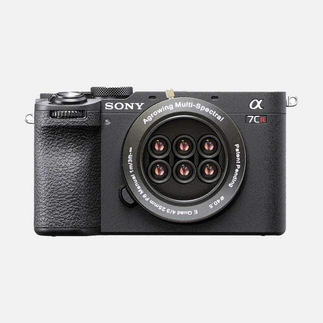
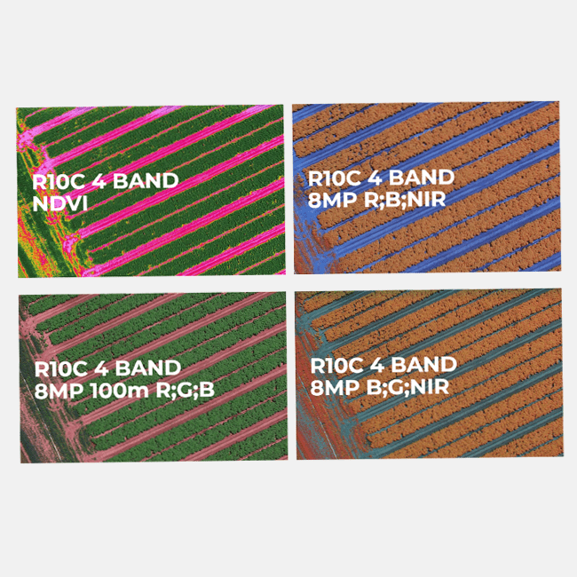
Agrowing is a leading innovator in the agri-tech industry, providing low-cost camera solutions for UAV-based applications. Their high-resolution multispectral imaging technology is designed to help farmers identify and address agricultural hazards such as pests, diseases, and nutrient deficiencies.
The patented multi-lens approach, combined with the latest Sony DSLR cameras, produces sensors with 5 to 15 narrow wavebands with 8 to 12 megapixels of spatial data in each band. By leveraging the latest consumer sensor technology together with its competitive pricing, they are making high quality spectral imaging accessible to the agriculture industry. The unique design and image acquisition enables extremely high-resolution multispectral data analysis. This provides agronomists with multiple vegetative indices, including the traditional NDVI, allowing them to make informed decisions and potentially improve crop yields.
Agrowing’s vision and technology enable accurate in-the-field automatic machine-vision and machine-learning identification of agricultural hazards. This means that issues with crops can be identified and addressed quickly and efficiently, ultimately leading to improved crop health
Full Range of Agrowing Cameras PDF
| Model | ILX-LR1 Quad | Alpha A7CR Quad | Alpha A7CR Sextuple |
| Image |  |  | 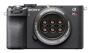 |
Type
| Quad lens single mount 30nm wide | Quad lens single mount 30nm wide | Sextuple lens single mount 30nm wide |
Field of view
| Diagonal 45.90 Horizontal 35.0 Vertical 26.60 | Diagonal 45.90 Horizontal 35.0 Vertical 26.60 | Diagonal 45.90 Horizontal 35.0 Vertical 26.60 |
Spectral Bands
| 10 bands 405;430;450; 550;560;570; 650;685 | 10 bands 405;430;450; 550;560;570; 650;685 | 14 bands 405; 430; 450; 490, 525; 550; 560; 570; 630; 650; 686; 710; 735; 850 |
Multi Spectral Chroma Bands Resolution (single lens compound) | ~12.1MP (4304 x 2836 pixels) per chroma band based on Sony 61 Megapixel sensor | ~12.1MP (4304 x 2836 pixels) per chroma band based on Sony 61 Megapixel sensor | ~7.5MP (2780 x 2650 pixels) per chroma band based on Sony 61 Megapixel sensor |
Iris | Fixed | Fixed | Fixed |
Effective focal length
| 25mm | 25mm | 25mm |
Focus type and range
| Manual 2m – infinity | Manual 2m – infinity | Manual 2m – infinity |
F number
| 6.0 | 6.0 | 6.0 |
Total sensor weight including battery
| 423g (including lens and battery) | 705g (including lens and battery) with A7CR | 705g (including lens and battery) with A7CR |
Agrowing’s multispectral cameras are versatile tools with a wide range of applications, particularly in precision agriculture. They enable the creation of detailed NDVI maps and multispectral imagery, which are essential for monitoring crop health, detecting diseases, and assessing nutrient deficiencies. These cameras are also used in environmental research to study vegetation and land cover changes. In addition, they support precision farming practices by providing accurate data for optimising irrigation, fertilisation, and pest control strategies. Their high-resolution imaging capabilities make them suitable for aerial surveys and mapping, enhancing the accuracy of agricultural monitoring and analysis.
Precision Agriculture:
Environmental Research:
Precision Farming:
Aerial Surveys and Mapping: